Why Two Sunset Park Waterfront Listings at the Same Price Aren't the Same Risk
October 1, 2026
October 1, 2026
As Tampa Bay 28 reported, Tampa Mayor Jane Castor said, "We have to dig up streets and there will be detours," last October, days before crews broke ground on a $6.9 million flood relief project along South Manhattan Avenue. Eleven months later, in September 2026, that construction is still visible from the street: torn-up pavement, temporary plates over open trenches, and a marked route through Sunset Park's canal fingers toward Old Tampa Bay.
For a buyer comparing two Sunset Park waterfront listings priced within a few thousand dollars of each other, that construction line matters more than either listing's square footage. One home may sit on a block where the city has already replaced a failing drainage pipe. The other may sit two streets over, still waiting its turn. The published median for Sunset Park cannot tell you which is which, and neither can a walk-through on a dry afternoon.
The project underway right now is Phase 1 of the South Manhattan Avenue flood relief work, running from West Vasconia Street to West Obispo Street. Crews from Cathcart Construction are replacing undersized stormwater pipes, in some spots swapping a 24-inch pipe for one measuring 42 or 56 inches, and adding storm inlets at every intersection along the corridor. Water collected in the new system travels west along Vasconia to Cherokee Road before discharging at the Spring Lake outfall. The work is funded by a mix of sources: nearly a million dollars from a federal community grant secured by U.S. Rep. Kathy Castor, $2.75 million from the Florida Department of Environmental Protection, and the balance from the city's stormwater assessment and water and wastewater funds.
Phase 1 is scheduled to finish by the end of 2026, which puts its completion inside the same window a fall or winter closing could fall into. Phase 2, covering San Pedro Street north to Bay to Bay Boulevard, does not begin until early 2027, and the city has said it will run on its own separate pipes and outfalls rather than connect to Phase 1. A canal-front lot near Vasconia and one a few blocks north near Bay to Bay are not on the same repair timeline at all. One may have brand-new drainage under the street by year's end. The other is still waiting its turn.
This work traces back to the broader Lamb Canal Rehabilitation and Flood Relief project, which the city has been designing since 2023 after residents and the Sunset Park Area Homeowners Association raised the erosion and nuisance-flooding problem at a public meeting that spring. The canal itself has lost capacity to sediment buildup and eroded banks for years, according to the city's own project documentation, and the fix is arriving in pieces rather than all at once.
Ask three different listing trackers for Sunset Park's median price and three different numbers come back. A December 2025 snapshot from Redfin put the neighborhood's median sale price at roughly $1.08 million. Zillow's home value index for the same date came in closer to $1.34 million. Waterfront-specific listings tracked in August 2026 carried a median asking price around $2.5 million, and vacant waterfront lots alone were listing at a median near $2.35 million.
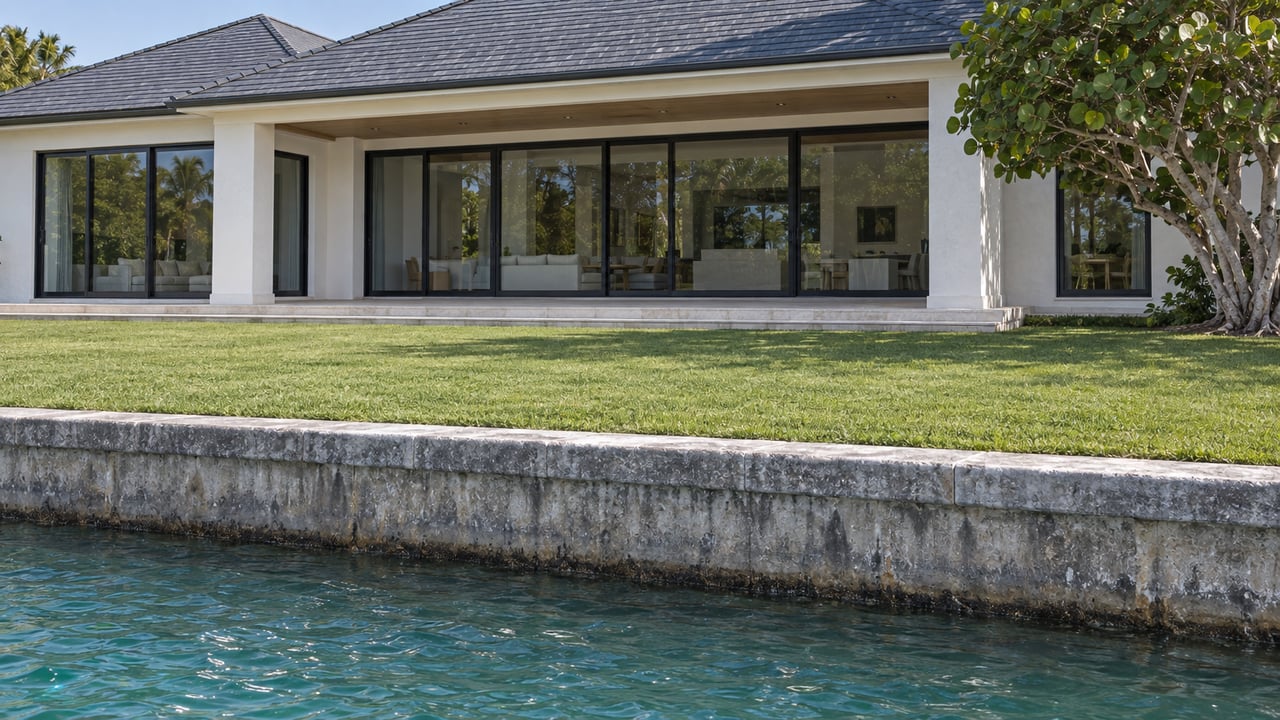
None of these numbers is wrong. They measure different neighborhoods that happen to share a name. Sunset Park's inland streets, the ones without water frontage, anchor the lower end of any blended median. The dredged canal fingers built in the 1950s, known locally as Sunset Park Isles, form a second tier, with custom homes on one-third-acre lots running from roughly $1 million into the $6 million range depending on age and finish. True open-bay frontage, concentrated in newer enclaves like Madsen Isles, Bel Mar, and Stoney Point, forms a third tier again, where a single half-acre lot with 200 feet of unobstructed frontage can be marketed on land value alone.
| Submarket | What's on the ground | Recent price signal |
|---|---|---|
| Inland Sunset Park | No water frontage, original 1950s-era homes and newer infill | Anchors the lower end of the neighborhood's blended median |
| Canal fingers (Sunset Park Isles) | Dredged peninsulas, docks and boat lifts, mix of original ranch homes and new custom builds | Roughly $1M to $6M depending on age and finish |
| Open bay frontage | Newer construction on Madsen Isles, Bel Mar, Stoney Point and similar enclaves | Waterfront listings averaged about $2.5M in August 2026; vacant lots near $2.35M |
A buyer who only sees the blended median has no way to know which tier, or which construction phase, a given listing belongs to.
The distinction between canal and bay frontage is not just about the view. A citywide vulnerability assessment the city released in 2025 put many Sunset Park streets at roughly 2.6 feet in elevation, among the lowest in Tampa. That low elevation is part of why the canal system needs the drainage upgrade now underway. It also explains why newer construction on the open-bay enclaves tends to build higher off grade, with concrete block construction and elevated, FEMA-compliant design intended to support lower insurance costs.
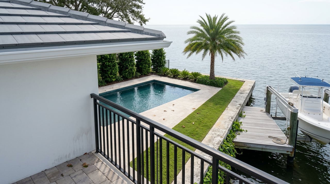
Canal-front homes trade some of that elevation exposure for shelter and dock-friendly boating access. The finger canals dug in the 1950s were built just wide enough for a cul-de-sac of homes, and the deep, sheltered water they offer keeps demand steady even during a construction season. Bay-front homes trade that shelter for direct storm surge exposure and open sightlines. Neither profile is the automatically safer purchase. What matters is whether the specific property being compared has already benefited from a completed drainage upgrade, still sits inside an active construction zone, or is waiting on a phase that hasn't started.
A buyer weighing two similarly priced Sunset Park waterfront properties this fall has a short, specific list of questions a general market report won't answer.
None of these questions show up in a portal's automated comparison tool. They come from knowing which corridor a construction crew is standing in this week.
Does the South Manhattan Avenue project fix storm surge flooding, or just rain flooding? The city's own project materials are specific on this point: the work addresses nuisance flooding from typical rainstorms, not storm surge from tropical systems. Low topography and the technical difficulty of blocking storm surge backflow mean the drainage upgrade won't change a property's exposure during a hurricane, even though it should noticeably reduce the everyday flooding residents have described for years.
When will the rest of Sunset Park's canal streets get the same upgrade? Only the Vasconia-to-Obispo stretch is under construction now. Phase 2, covering San Pedro Street to Bay to Bay Boulevard, is scheduled to begin in early 2027 and will use its own separate pipe and outfall system rather than tie into the current work.
If you're comparing Sunset Park listings this fall and want a read on where a specific address sits relative to the construction line, the elevation grade, or the canal-versus-bay divide, Heidi Odio can walk the comparison with you street by street.
Stay up to date on the latest real estate trends.
We bring together a mix of integrity, imagination and an inexhaustible work ethic, striving to make each buying and selling experience the best possible. Contact us today to find out how we can be of assistance to you!
Get In Touch With Our Team To Learn More
ADDRESS 3615 Bromley Grand Ave Tampa FL 33607